
Bestand:US map - states-fr.png

Grootte van deze voorvertoning: 800 × 542 pixels. Andere resoluties: 320 × 217 pixels | 640 × 434 pixels | 1.024 × 694 pixels | 1.480 × 1.003 pixels.
Oorspronkelijk bestand (1.480 × 1.003 pixels, bestandsgrootte: 304 kB, MIME-type: image/png)
| Dit is een bestand van Wikimedia Commons. Onderstaande beschrijving komt van de beschrijving van het bestand daar. Controleer het gebruik van dit bestand in andere Wikimediaprojecten. |
Beschrijving

|
Bestand:Map of USA with state names fr.svg is een vectorversie van dit bestand. Indien niet van slechtere kwaliteit dient deze gebruikt te worden in plaats van deze rasterafbeelding.
File:US map - states-fr.png → File:Map of USA with state names fr.svg
Zie Help:SVG voor meer informatie. |
 |
Licentie
Dit werk bevindt zich in het publieke domein in de Verenigde Staten omdat het is vervaardigd door een ambtenaar van de Amerikaanse federale overheid tijdens de uitoefening van zijn functie, en het daarmee volgens Titel 17, Hoofdstuk 1, Sectie 105 van de United States Code [Engelstalige link] een werk van de Amerikaanse federale overheid [Engelstalige link] is.
Nota bene: Het bovenstaande is alleen van toepassing op werken van de federale overheid of een van haar onderdelen, en niet op werken van een afzonderlijk(e) Staat, Territorium, Commonwealth, County, Gemeente, of enig andere bestuurlijke eenheid. Dit sjabloon is ook niet van toepassing op ontwerpen voor postzegels, door de United States Postal Service openbaar gemaakt sinds 1978 [Engelstalige link]. Zie Art. 206.02(b) van "Compendium II: Copyright Office Practices" (Engelstalig).
|
 | |
| Van dit bestand is vastgesteld dat er geen bekende auteursrechtaanspraken op rusten, alle aanverwante en naburige rechten daarbij inbegrepen. | ||
Bestandsgeschiedenis
Klik op een datum/tijd om het bestand te zien zoals het destijds was.
| Datum/tijd | Miniatuur | Afmetingen | Gebruiker | Opmerking | |
|---|---|---|---|---|---|
| huidige versie | 24 feb 2006 07:50 | | 1.480 × 1.003 (304 kB) | Sting | Colour correction for the seas |
| 3 feb 2006 02:40 |  | 1.480 × 1.003 (303 kB) | Sting | forgotten Canada | |
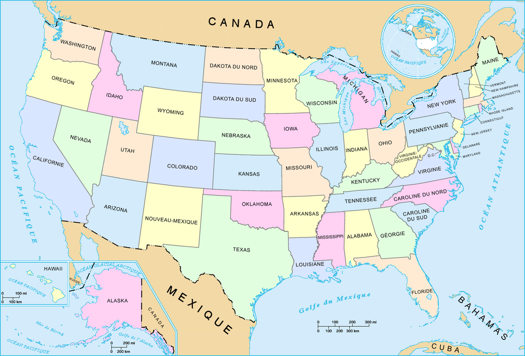
| 2 feb 2006 23:58 |  | 1.480 × 1.003 (301 kB) | Sting | French-version map of the States of the United States. For the English version, see : Image:US_map_-_states.png. * '''Réalisée par :''' US Department of Interior * '''Source :''' National Atlas of the United States : http://nationalatlas.gov |
Bestandsgebruik
Dit bestand wordt op de volgende pagina gebruikt:
Globaal bestandsgebruik
De volgende andere wiki's gebruiken dit bestand:
- Gebruikt op fr.wikipedia.org